< Product / MAYNE >
One dashboard. Every source.
MAYNE brings your sensor data, survey outputs and operational records into one place, giving you a clear, real-time picture of your assets and the environment around them.
< What MAYNE does >
From raw capture to a decision you can defend.
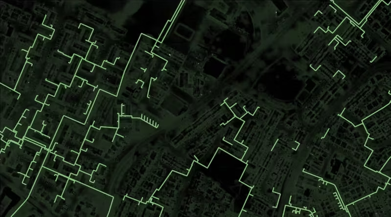
Data arrives from drones, uncrewed systems, fixed sensors and field teams in different formats, at different times, from different suppliers. MAYNE fuses it into one structured record, stores it under your governance rules, and applies the analytics that turn it into findings.
Every capture cycle adds to the last. Change becomes visible rather than inferred, and the value of the record grows each time you use it.
Ingest.
Sensor data, survey outputs and field reports arrive from any source, in any format.
Fuse.
Everything lands in one structure, georeferenced and time-stamped against what came before.
Analyse.
Detection models and thresholds run against the full record, not just the latest capture.
Act.
Findings reach the people and systems that act on them, with the evidence attached.
< A workbench, not a fixed tool >
The same dataset, answering different questions.
An inspection engineer needs defect detail. An asset manager needs condition trends across a portfolio. A commander needs real-time battlefield intelligence. Most tools make you buy three products or rebuild the dataset for each question.
MAYNE is dual-use. The same record serves engineers, asset managers and commanders, each with the view their decisions need.
< Engineer >
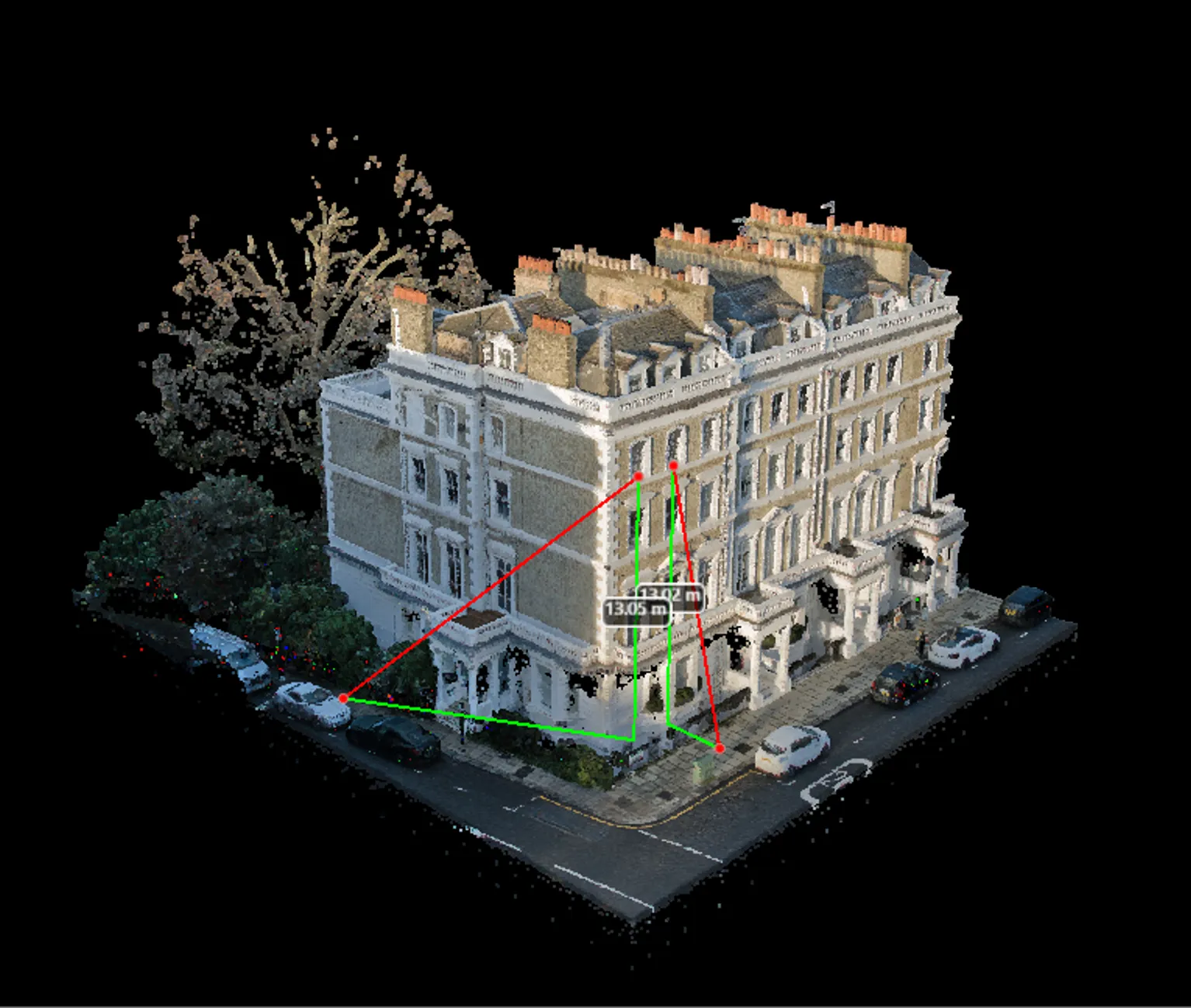
Defect-level detail, located and scored, with the source imagery one click away.
< Asset manager >
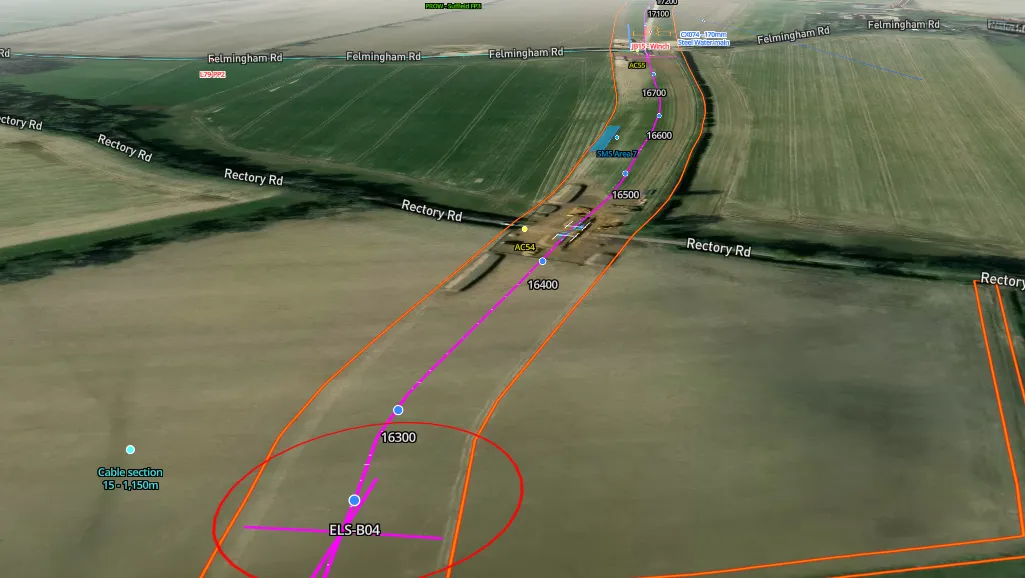
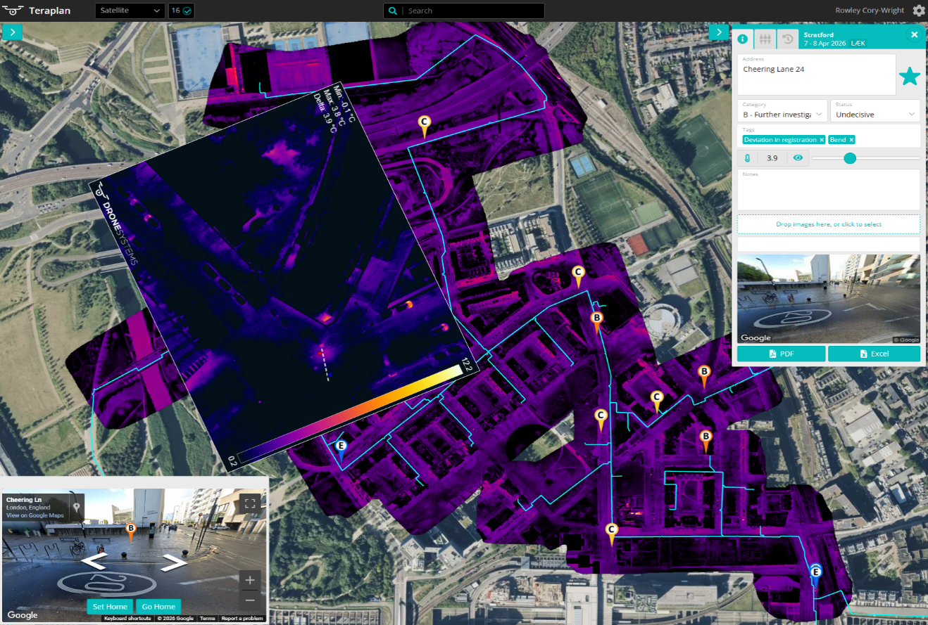
Condition across the portfolio, tracked cycle to cycle, with deterioration ranked by consequence.
< Commander >
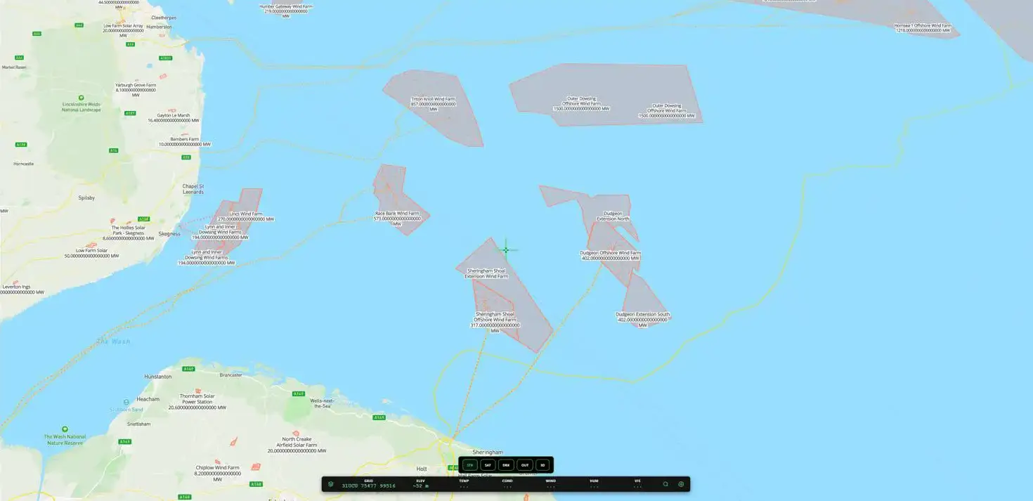
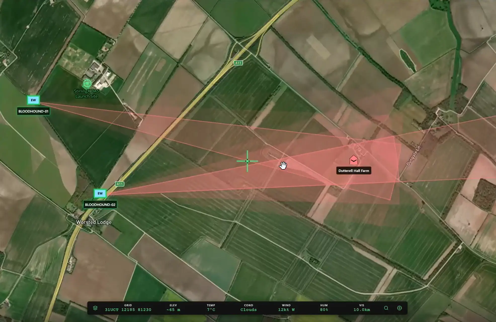
Battlefield intelligence, CONOPS planning and counter-UAS capabilities built into MAYNE.
< Applications >
What people use MAYNE for.
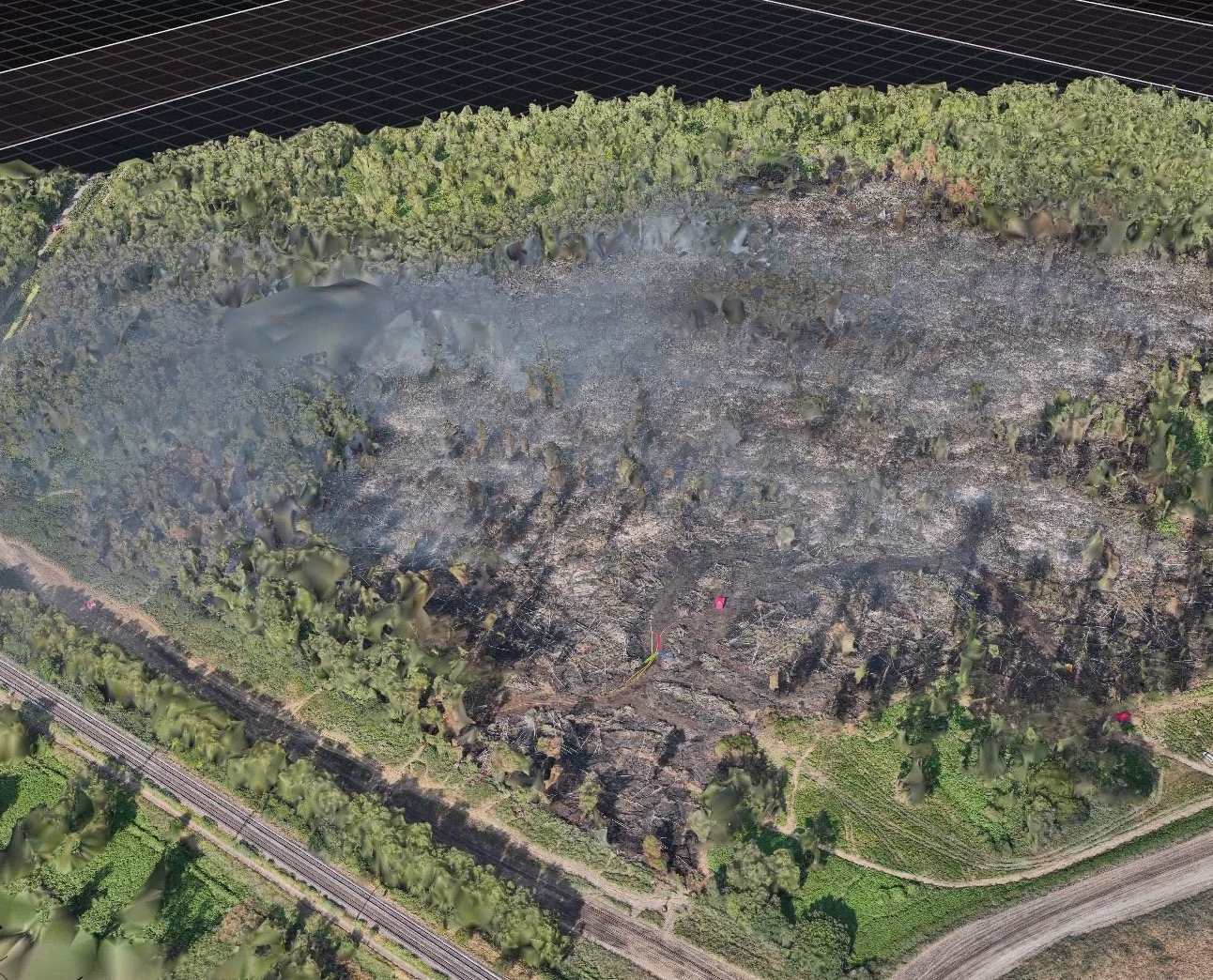
Four core applications, all with the same interface and encryption standards, but with unique features to enable rapid decision making.
< With LEWES, or on its own >
Take both, or the one that fills the gap.
LEWES moves data off your assets and into MAYNE securely, from anywhere, including remote and degraded environments. Together they are the intelligence and autonomy layer between your assets and your decisions.
If you already have a way to move data, MAYNE works on its own. If you already have analytics, LEWES works on its own.
Read about Lewes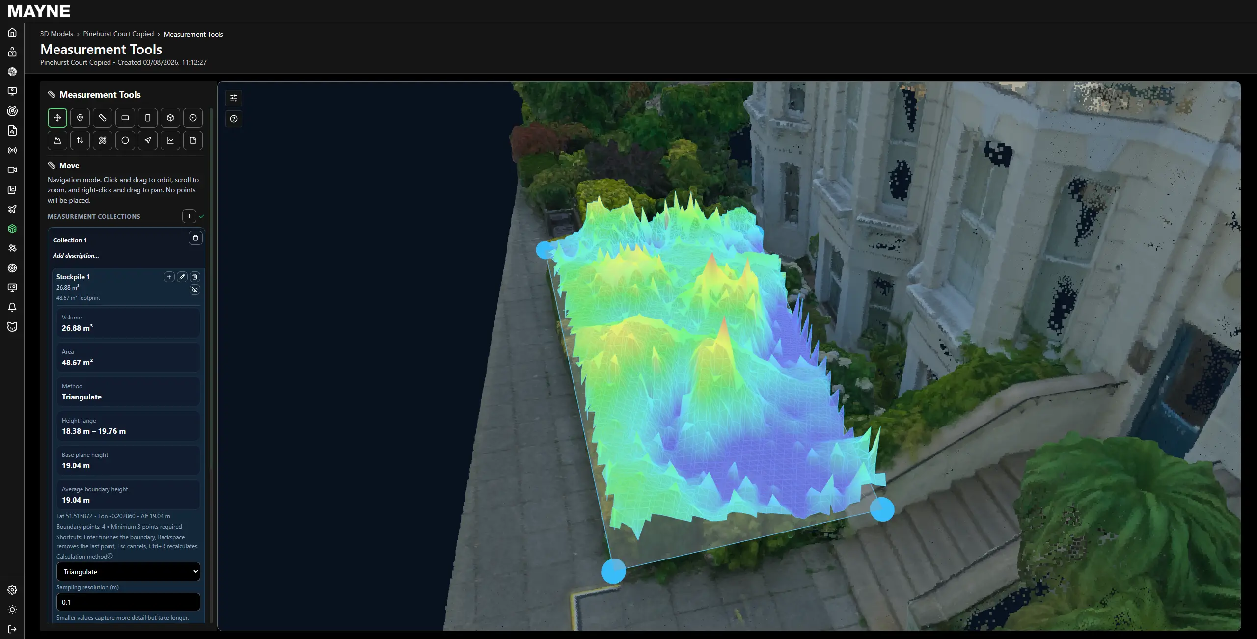
< How it fits >
Full integration with your own data.
Works with your systems.
MAYNE sits alongside your CMMS, GIS and asset register rather than replacing them. It connects through open APIs, supports third-party ingest, and can host mission applications directly.
It brings video, imagery, telemetry, geospatial data and structured reporting together into one record, in standard export formats, with no rip-and-replace.
The environment is secure by design from edge to cloud, deployable for MoD and NATO use, and runs in public cloud, private cloud or on-premises.
< Open architecture >
Open APIs and third-party ingest, with the platform able to host mission applications directly.
< Any data type >
Video, imagery, telemetry, geospatial data and structured reporting, held in one record.
< Secure by design >
Edge-to-cloud security built in from the start, MoD and NATO deployable.
< Case Studies >
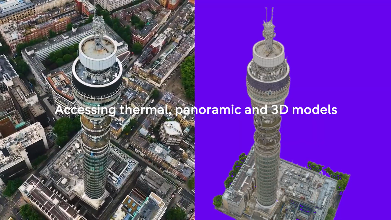
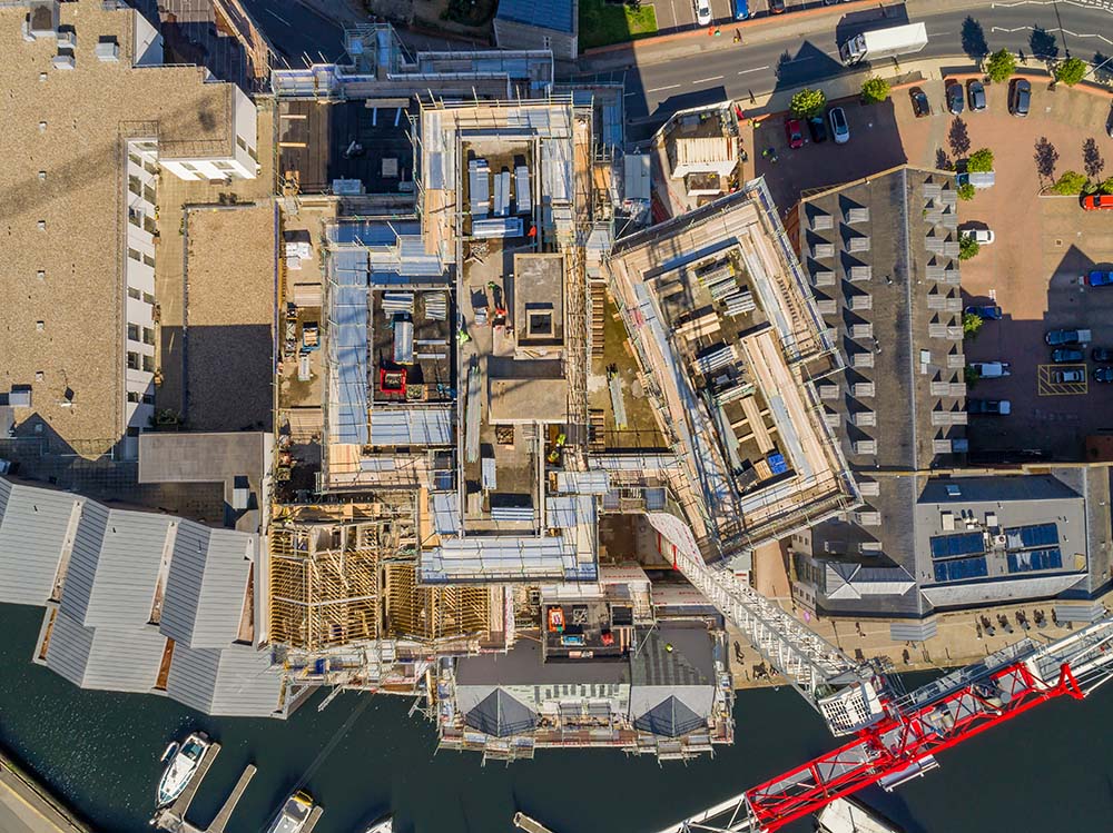
What we've accomplished. Real services from real projects.

.png)




Questions we get asked.
Need more information? Reach out to discuss your specific situation.

How long does it take to get running?
Do we have to use StirlingX to capture the data?
Who owns the data?
Can it work with our existing asset management system?
What happens to surveys we have already commissioned?
Can it be deployed in a restricted environment?
See MAYNE running on your own data.
Bring us a site, a corridor or an asset class. We will process what you already have and show you the output.