The Problem
GGC required a record of the full 50km route to support decision-making during development, including up to date aerial viewpoints. Changes along a corridor of this length, including standing water, vegetation growth towards the line and shifts in ground conditions, needed to be identified.
The Solution
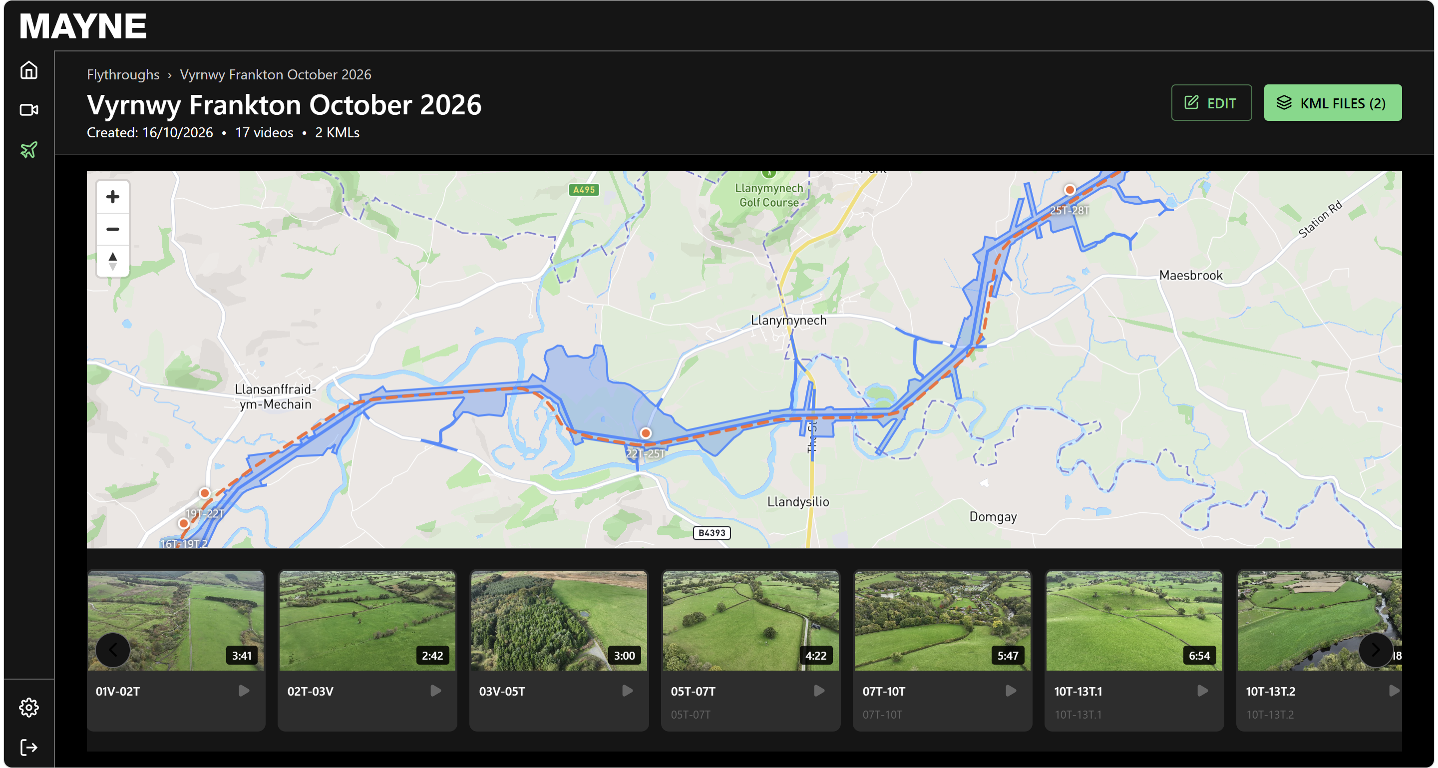
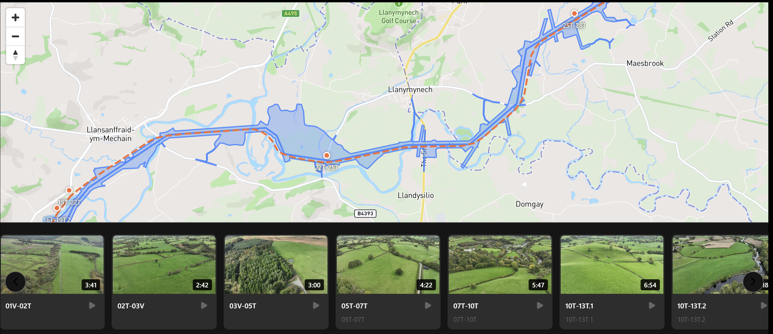
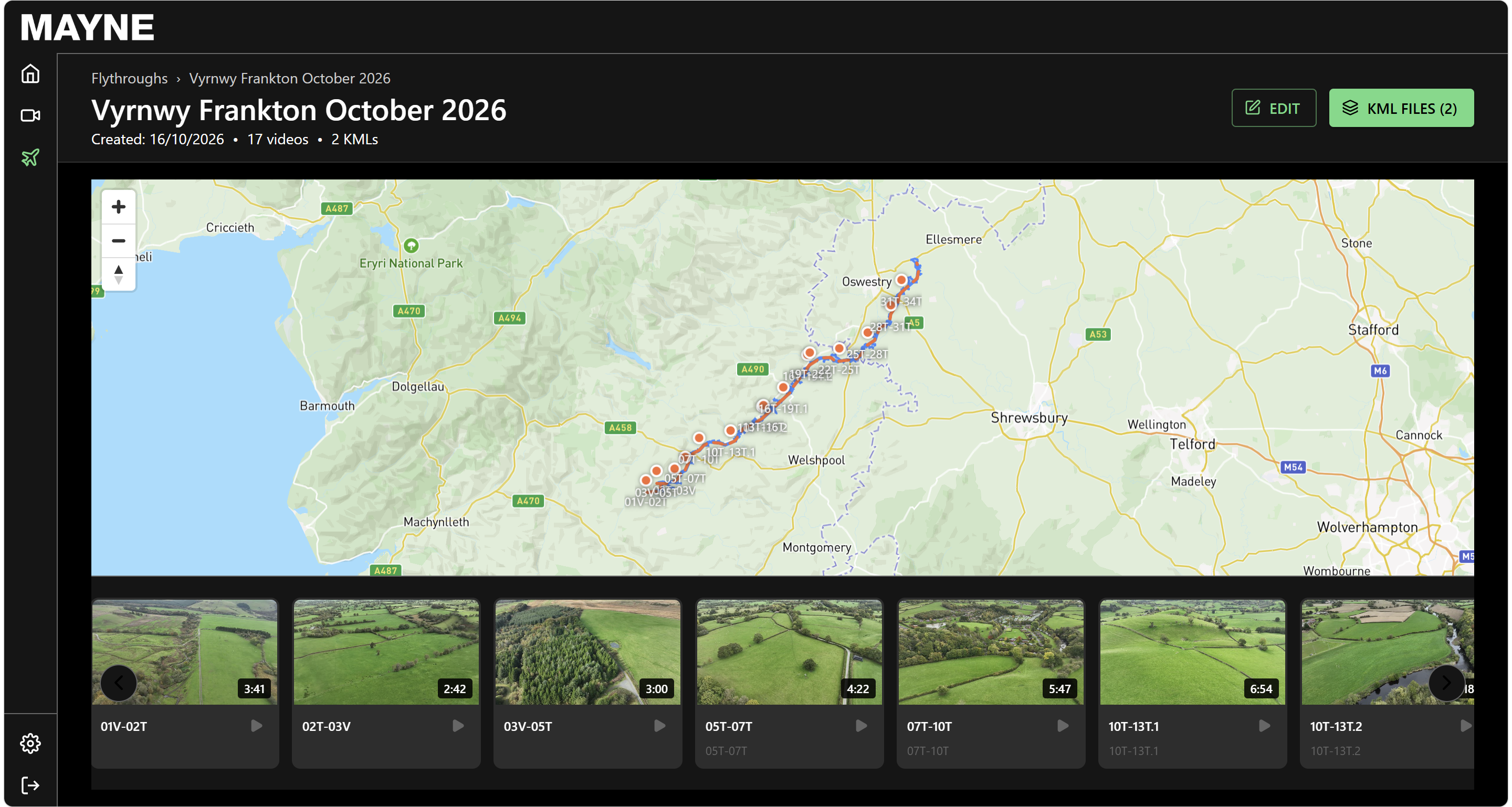
StirlingX has completed a baseline survey of the full corridor, capturing continuous high-definition video with geo-referenced positioning along the entire route. Any location on the line can be found and reviewed directly.
- Video fly-through data made available to GGC, with hosting and viewing options
- Change detection to compare any future surveys with the previous ones, covering flood monitoring, vegetation encroachment and corridor change
- Aviation clearances both civilian and military obtained, risk assessments, pre-mobilisation planning and survey execution managed by StirlingX
This survey establishes the baseline against which future surveys can be compared.
The Outcomes
- Baseline survey of the full 50km corridor completed in two days (42 km in the first day)
- Geo-referenced HD video captured along the entire route and searchable by location
- Baseline record established for change detection from the future surveys.