< Capabilities / Survey & mapping >
Drone survey and mapping services for UK infrastructure.
Topographic surveys, progress captures, corridor mapping and volumetrics, flown by our own crews and landed in MAYNE within 48 hours. One provider, one dataset, one platform.
< 01 / The problem >
Years of survey data that can't be compared.
Every survey answers the question it was commissioned to answer, then sits in an archive. Different suppliers, different specifications, different delivery formats: most organisations end up holding years of site data with no way to line one capture up against the next.
Inconsistent specification
A different supplier for every project means a different sensor, a different accuracy tolerance and a different output format every time, leaving nothing to hold two surveys of the same site against each other.
Manual, ground-based capture
Traditional survey methods mean site shutdowns, personnel at height or on live track, and a mobilisation cost that scales with the size of the site rather than the size of the question.
Snapshots, not a record
A single site visit tells you what a site looked like on one day. Without a repeatable process behind it, that's all it will ever tell you.
< 02 / Core capability >
Linear and corridor drone surveys.
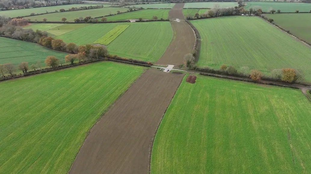
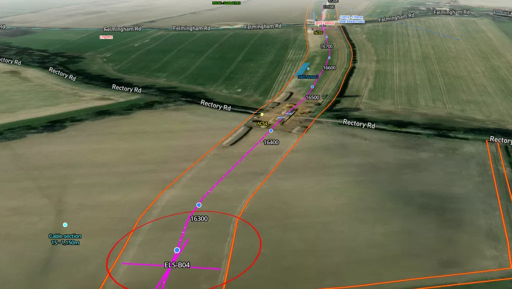
Corridor-scale video flythroughs for construction monitoring across rail, road, pipeline and utility corridors. We fly beyond visual line of sight under our CAA BVLOS-VM approval, so a long route is covered in one flight rather than in segments. The dataset is continuous, not stitched together.
A repeatable, time-series visual record of construction progress across the full corridor: one source of truth, from early works to practical completion.
Need ongoing condition monitoring of the same corridor? Our asset inspection service covers cracking, corrosion and defect detection on rail, highways and energy infrastructure.
< 03 / Pre-construction & baseline >
Accurate site intelligence before design and delivery.
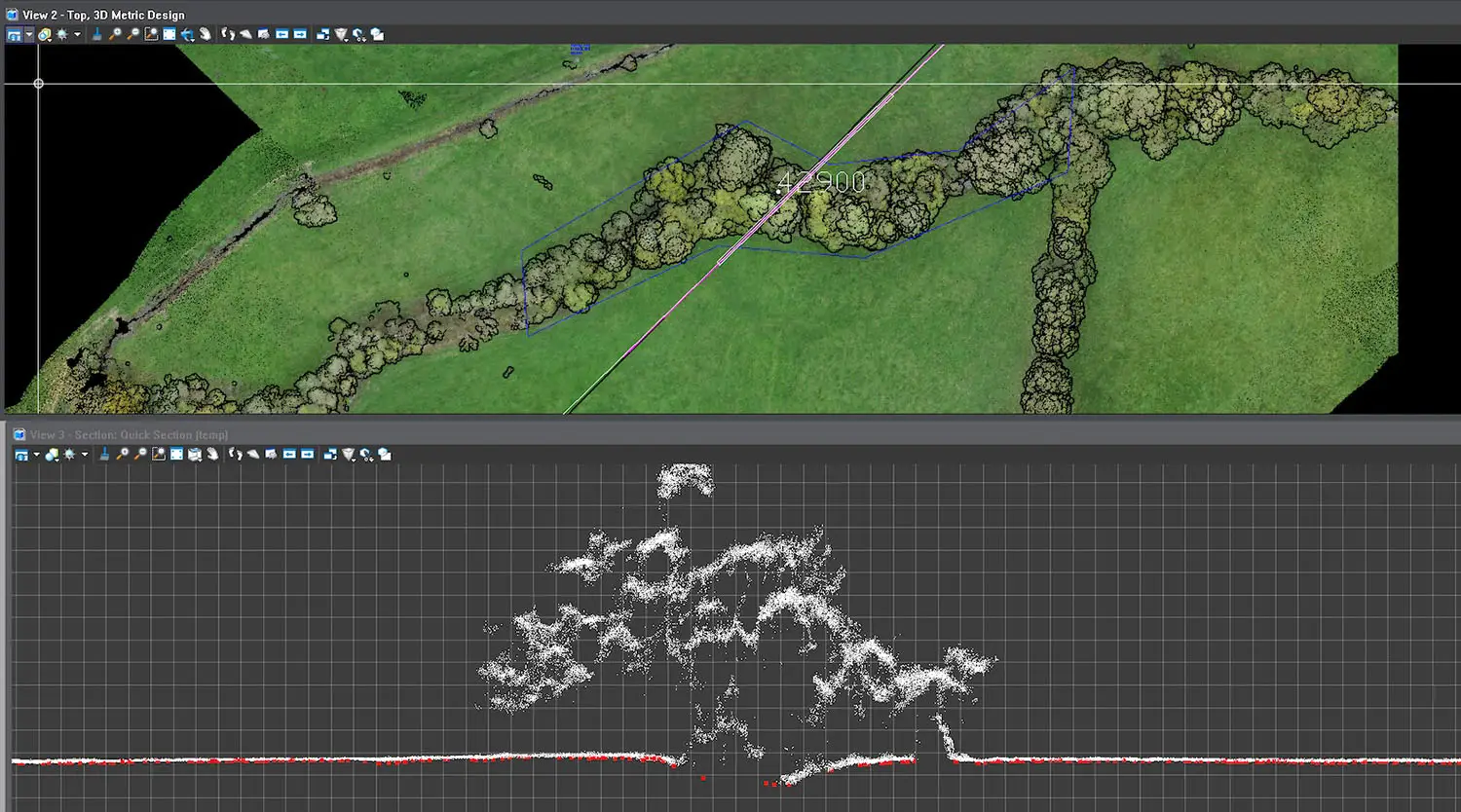
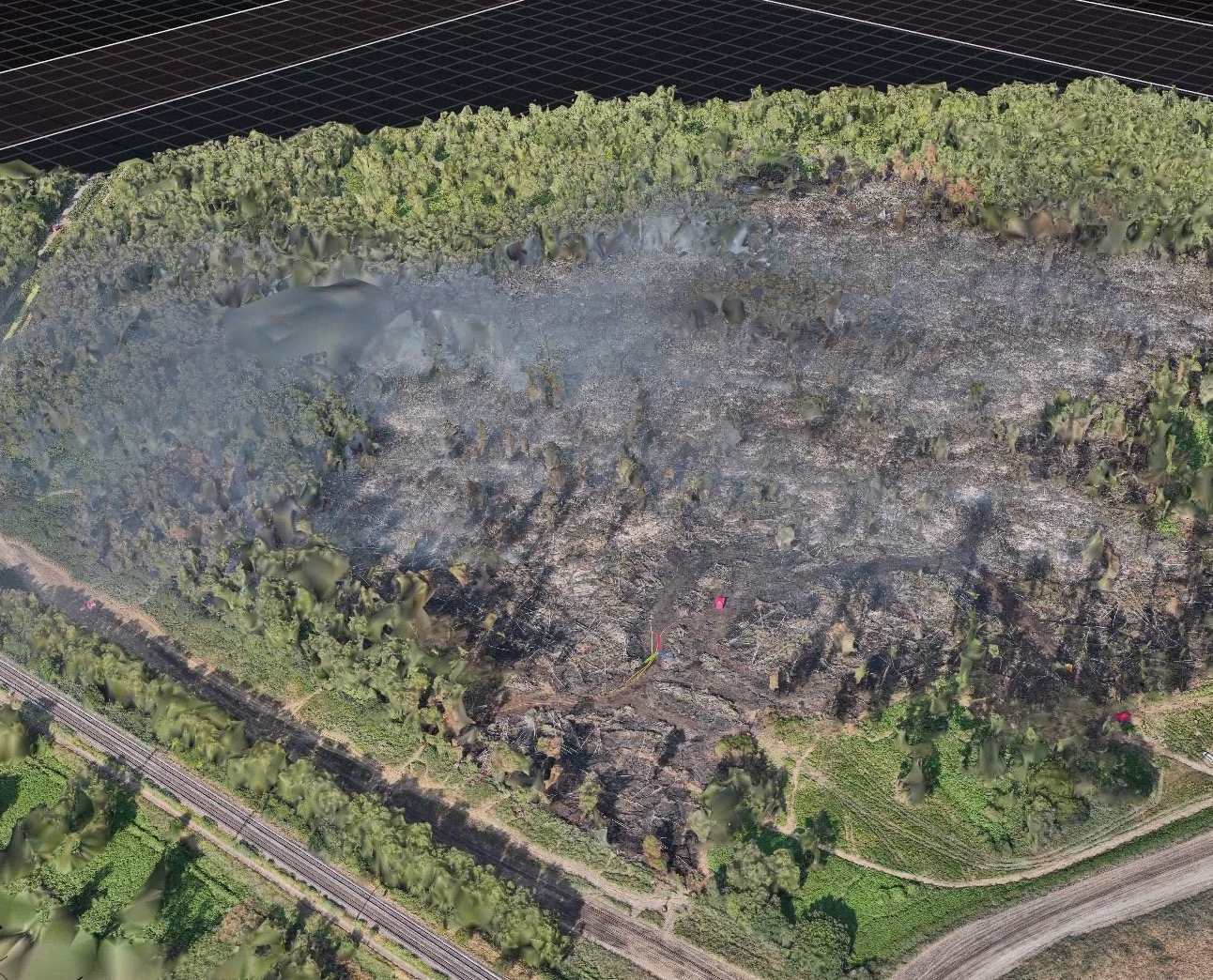
Good engineering decisions start with accurate site intelligence. We combine Lidar and photogrammetry to capture terrain in hours rather than days, cutting the assumptions and cost overruns that come from working off incomplete ground data.
Terrain
Topographic and terrain surveys, delivered as point clouds, orthomosaics and digital terrain models your design team can work from directly.
Routes
Corridor and route mapping for linear projects (pipelines, roads, rail) ahead of ground investigations.
Feasibility
Engineering feasibility assessments and obstruction identification, visualised for planning teams before commitment.
Handover
Data packs built for the tools your engineers already use: AutoCAD, Revit, Civil 3D.
< 04 / Construction progress tracking >
Know exactly what's been built, where, and when.
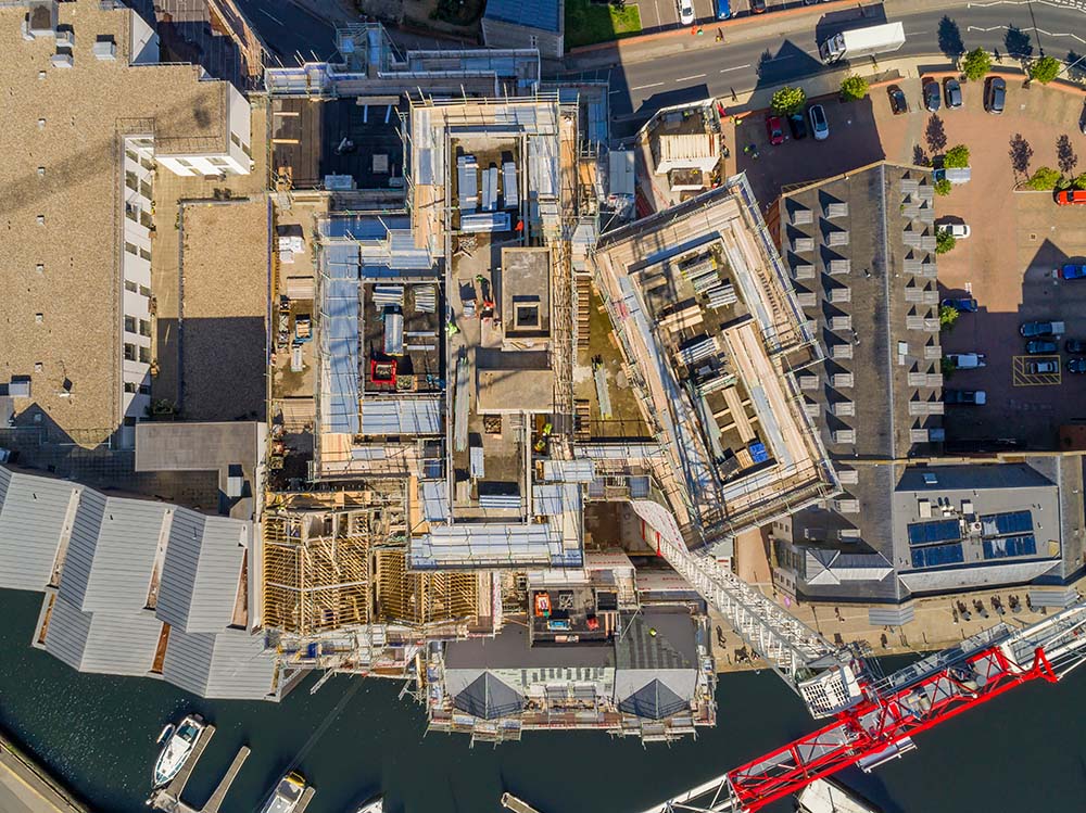
Regular drone surveys of the full site footprint, flown on a fixed cadence, give project teams a consistent aerial record from start to handover, with automated overlay against design models flagging deviations in position, elevation and dimension before they become costly rework.
As-built
Automated overlay of captured site conditions against design models and drawings.
Volumetrics
Drone-based volume calculations for earthworks, stockpiles, cut-and-fill and spoil management.
Digital twin
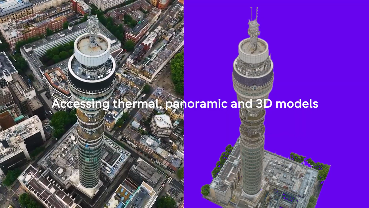
Photorealistic 3D models and point clouds, forming a running visual record as the site develops.
Reporting
Weekly and monthly packs: orthomosaics, deviation flags, annotated photographs and time-lapse.

< 05 / Sensors & technology >
The right sensor for the question you're asking.
Survey accuracy is a function of sensor choice, flight planning and ground control, not of the aircraft. We're airframe and sensor agnostic, so the payload is selected against the output you need.
< Bare earth >
Lidar
Direct measurement of the ground surface, including through vegetation canopy: the right choice for terrain modelling and corridor mapping through cuttings and embankments.
< Geometry & context >
Photogrammetry
High-resolution imagery processed into dense point clouds, orthomosaics and 3D mesh: the workhorse for progress capture and volumetrics.
< Continuity >
Video
Continuous, georeferenced capture along a route. Where a still frame shows what this looks like, video shows what changed between here and there.
< Differential >
Thermal & multispectral
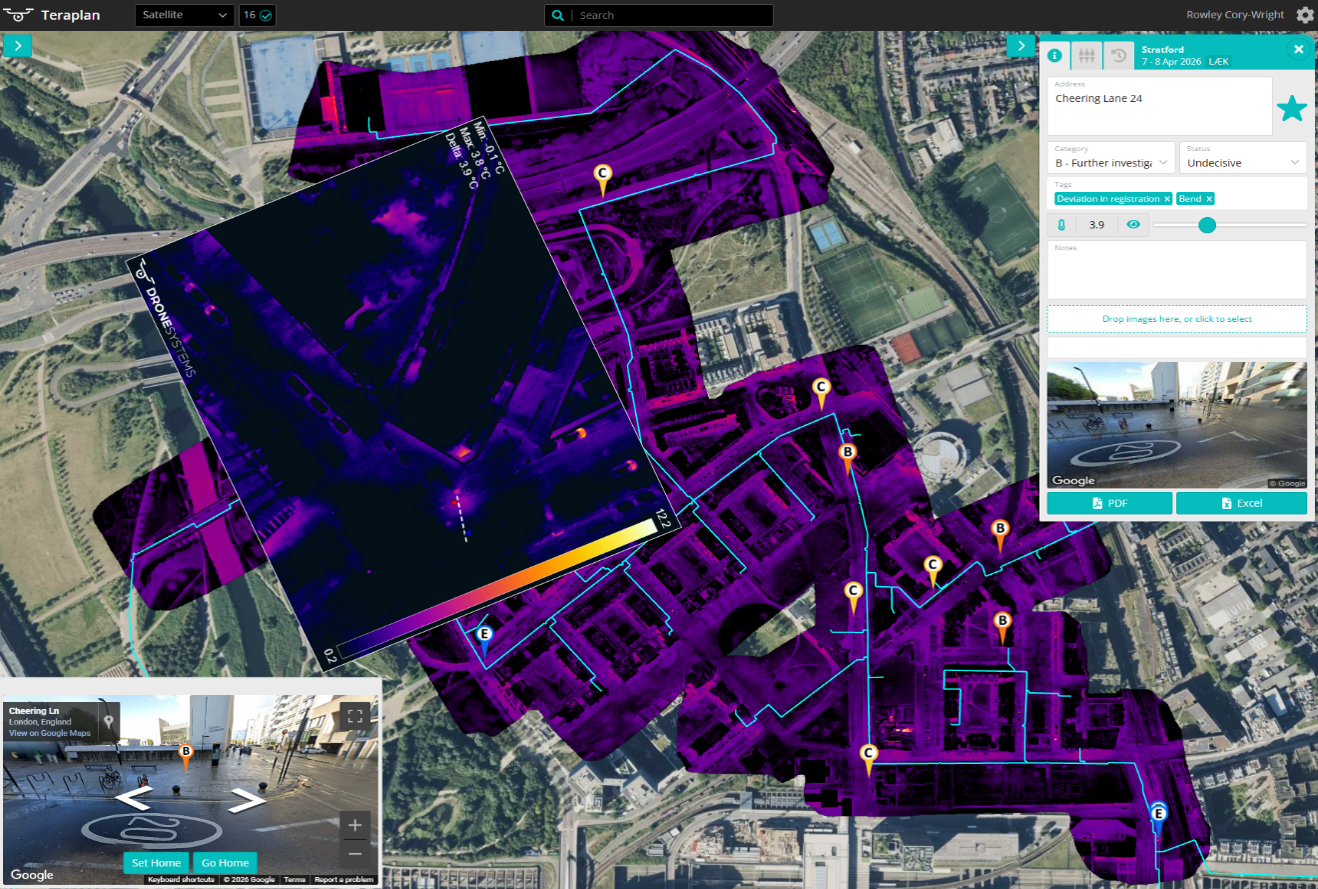
Temperature differential and vegetation health across large areas, used alongside geometric outputs, typically on utilities and environmental work.
< Regulatory position >
Surveying beyond visual line of sight.
Most UK drone survey work is flown within visual line of sight, which caps how much ground a single mobilisation can cover and forces long routes into segments.
StirlingX holds a CAA BVLOS-VM approval, letting us survey continuous corridors in a single flight. On linear infrastructure, that's the difference between one dataset and a dozen stitched together, and between one mobilisation and several.

< 06 / How it works >
From flight to findings.
Five steps, the same every time. Two of them are where LEWES and MAYNE do the work a conventional survey supplier leaves to you.
Plan
Specification, accuracy requirement and ground control agreed up front. Airspace and permissions handled by our operations team.
Capture
Our own crews and aircraft. Corridor work runs beyond visual line of sight under our CAA approval.
Move
Gets the data off the aircraft and into your environment securely, from anywhere, including sites with no usable connectivity.
Process
Point clouds, orthomosaics, terrain and surface models and volumetrics, to a consistent specification each time.
Deliver
Everything lands in MAYNE, georeferenced against your previous captures, and exports into the systems your teams already use.
< Case Studies >
What we've accomplished. Real services from real projects.

.png)
Before you commission a survey.
Need more information? Reach out to discuss your specific situation.

How accurate is a drone survey?
LiDar or photogrammetry: which do I need?
How quickly do we receive the data?
Can you survey a site that's live and operational?
What formats do you deliver in?
Do you fly beyond visual line of sight?
Who owns the survey data?
Let's map out your needs.
Bring us a corridor, a construction programme or an estate. We'll specify the survey, fly it, and show you the output in MAYNE.