
The Problem
In August 2026, Cambridgeshire was fighting 15 wildfires at once. Many were burning through peat, which meant the fire was moving underground as well as across the surface. Ground crews were walking terrain that looked calm but was burning at 300°C beneath their boots. Water supplies were stretched thin, and the British Army was placed on standby in case crews and water ran out before the fires did.
London Fire Brigade was called in to support Cambridgeshire's crews on the ground. The tools available to them for understanding the fire ground were the same ones fire services have used for decades: a drone flying overhead, and someone marking up an OS map by hand with a pencil, trying to work out how far the fire had spread and where to send crews next. On an incident moving as fast as this one, that process couldn't keep pace with the fire.
What the response teams needed wasn't more data. Drones were already capturing it. What they needed was a single, accurate picture of the whole fire ground that every crew could work from, and they needed it in hours, not days.
The Solution
The call came in on a Saturday morning at 10am, through a contact from a previous role who knew StirlingX could help. Within minutes, a small team was pulled together: Lucie, StirlingX's lead on data processing, working alongside Mark to get the drone imagery captured on site processed into something usable.
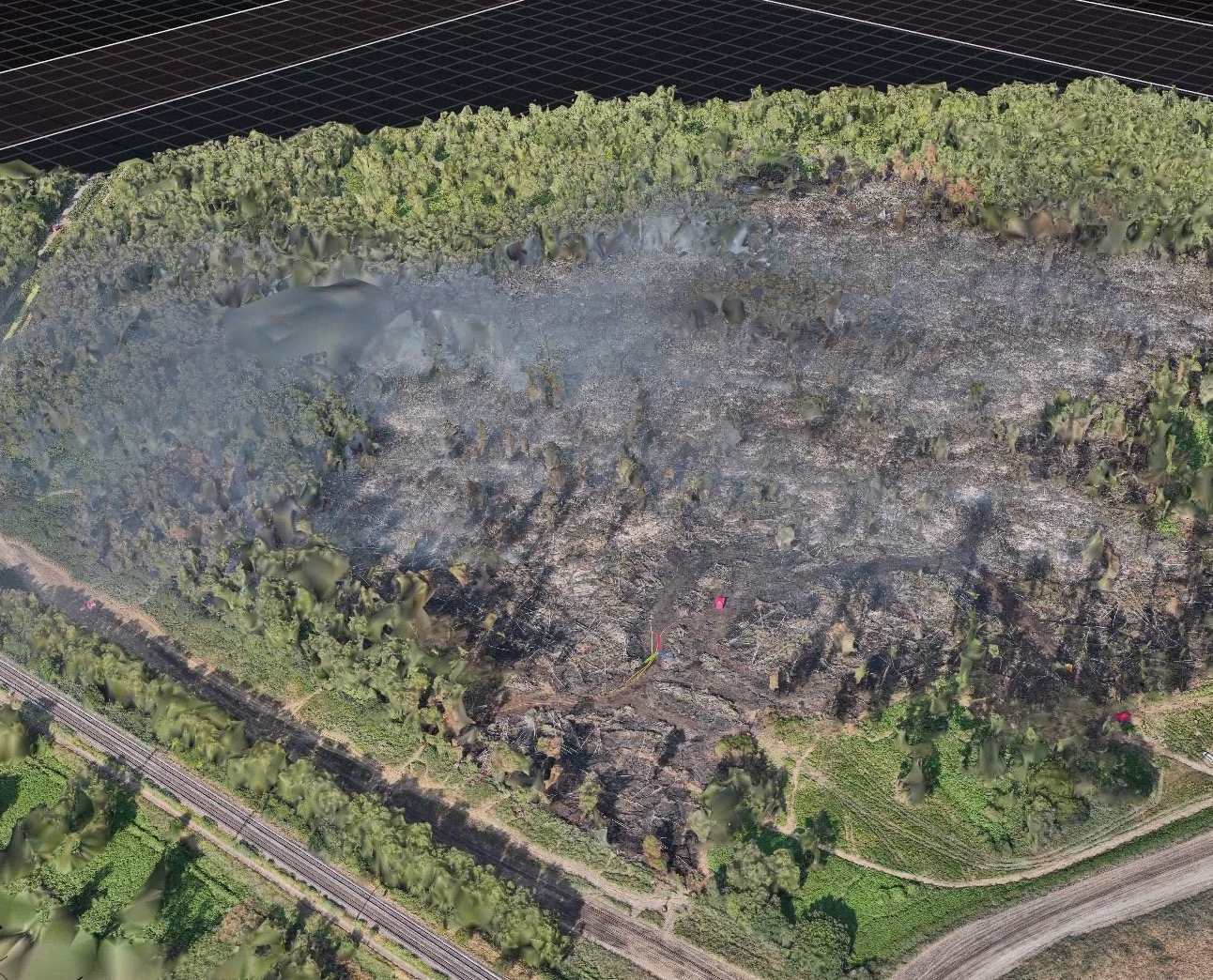
By 4pm the same day, six hours after the first call, the team had turned that raw drone data into a high-resolution map that crews could print in the field and mark up directly, giving them:
- The true extent of the fire ground in a single image, rather than pieced together from memory and hand-drawn notes
- A clear view of where the fire was actively moving, and where it hadn't yet reached
- One shared picture that every crew and commander on the incident could plan resourcing and next moves from
No new hardware went out to site. No lead time was needed. It came down to a team who could take raw drone data and turn it into something a fire commander could act on, fast enough for it to matter on the day it mattered.
It's also, directly, the reason StirlingX is building MAYNE. What Lucie and Mark did manually on a Saturday afternoon, fusing raw sensor data into one real-time picture a whole response team can work from, is the exact capability MAYNE is being built to deliver automatically, at the moment an incident starts rather than hours into it.
.png)
Outcomes
- 6 hours from first call to a field-ready map in the hands of fire crews
- A live proof point for the long-term emergency response capability StirlingX is building into MAYNE
- The beginning of an ongoing relationship with London Fire Brigade, who have since opened discussions about how this capability could support future incidents
