< Capabilities / Asset inspection & 3D Modelling >
Drone asset inspection services for UK critical infrastructure.
High-resolution, multi-sensor inspection for structures and corridors alike. Bridges, towers, rooftops and buildings modelled and measured in 3D; rail, road, pipeline and energy corridors flown as continuous video and scored for defects along the route.
< 01 / The problem >
Most inspection programmes only catch known problems. We catch unknown risks, too.
Fixed inspection cycles were built around what a team could physically reach safely, not around what the asset actually needed. The result is condition data that's inconsistent, infrequent, and often out of date by the time a defect actually matters.
Manual & infrequent
Walkover and rope-access inspections run on a calendar, not on risk. Long gaps between cycles mean a developing defect can go unseen for months.
Access & safety cost
Getting close to a bridge deck, a rooftop or a live corridor usually means access equipment, permits or personnel at height. That's a cost and a risk that scales with every inspection, not just the first one.
No comparable baseline
A photo from last year and a photo from this year rarely line up well enough to say, with confidence, what's actually changed.
< 02 / what we deliver >
One inspection platform, built to cover fixed assets and linear infrastructure alike.
Take the fixed-asset service, the linear-infrastructure service, or both. Every capture lands in MAYNE the same way, and can be fully integrated with third-party tools.
< 03 / Fixed assets >
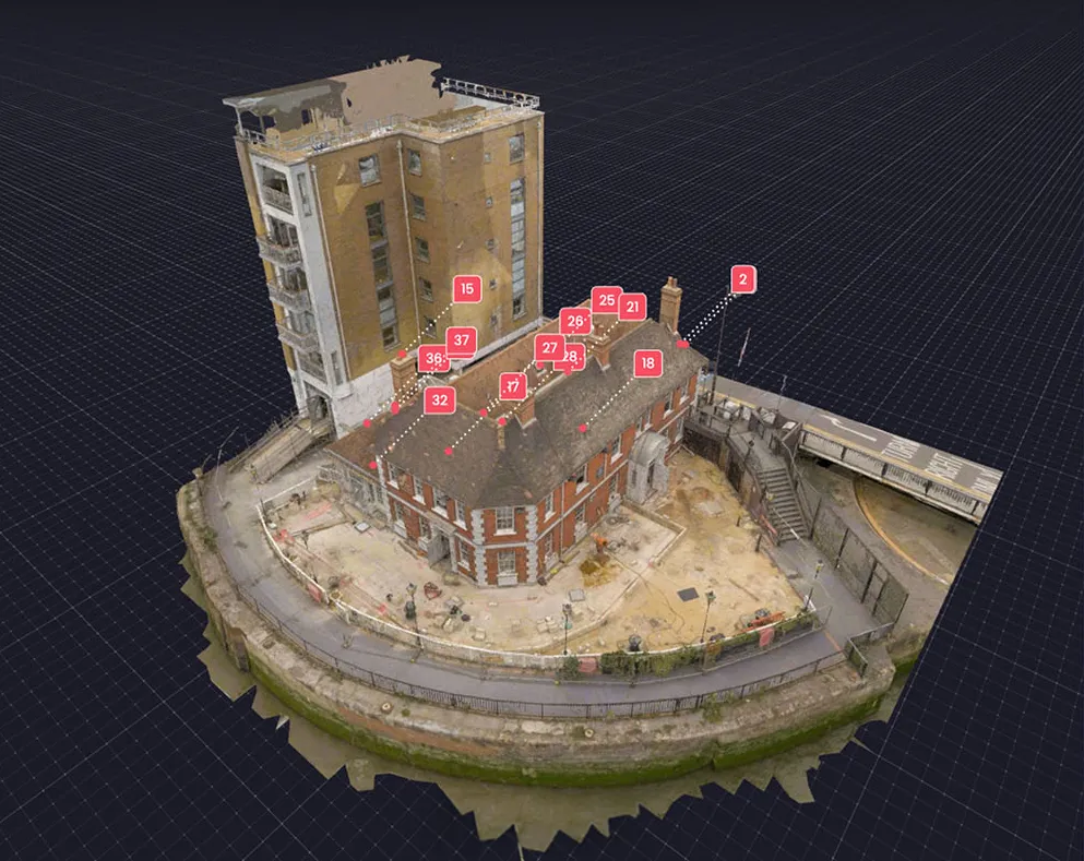
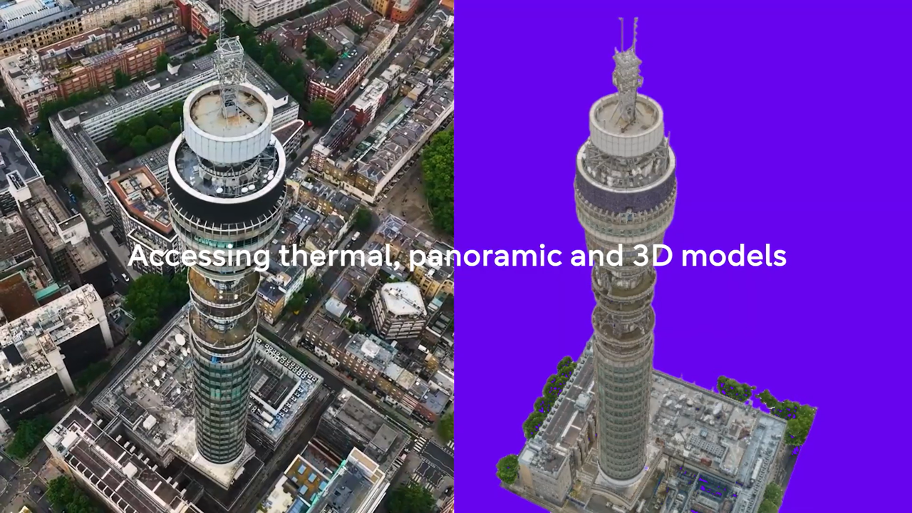
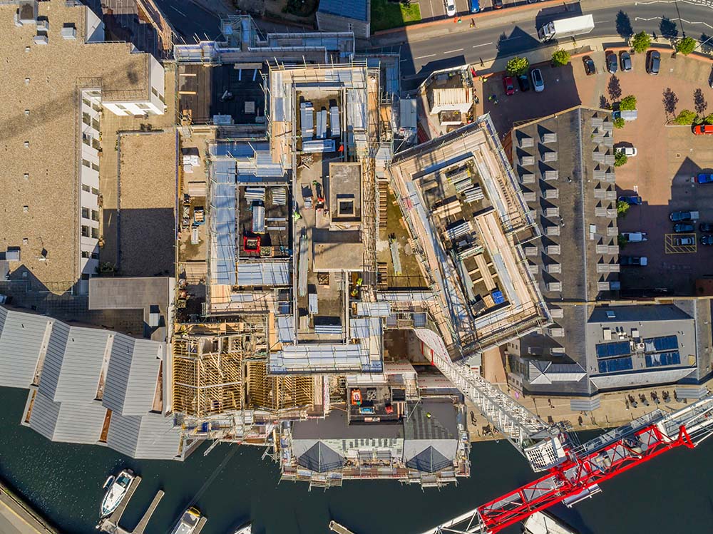
A complete 3D capture of the asset, from first model to final report.

Volumetric analysis
Stockpiles, structures and excavations quantified directly from the point cloud, giving accurate volumes without a single manual calculation.

Distance and area measurement
Spans, clearances, roof areas and offsets measured directly in the model, so a dimension check never means a site revisit.

Digital twin creation
A geo-registered 3D replica of the asset, built once and queried repeatedly, rather than a photo set nobody can measure against.

Condition monitoring
Cracking, corrosion and deformation identified and geotagged within the model, replacing walkover inspection with a faster, safer alternative.

Multi-sensor capture
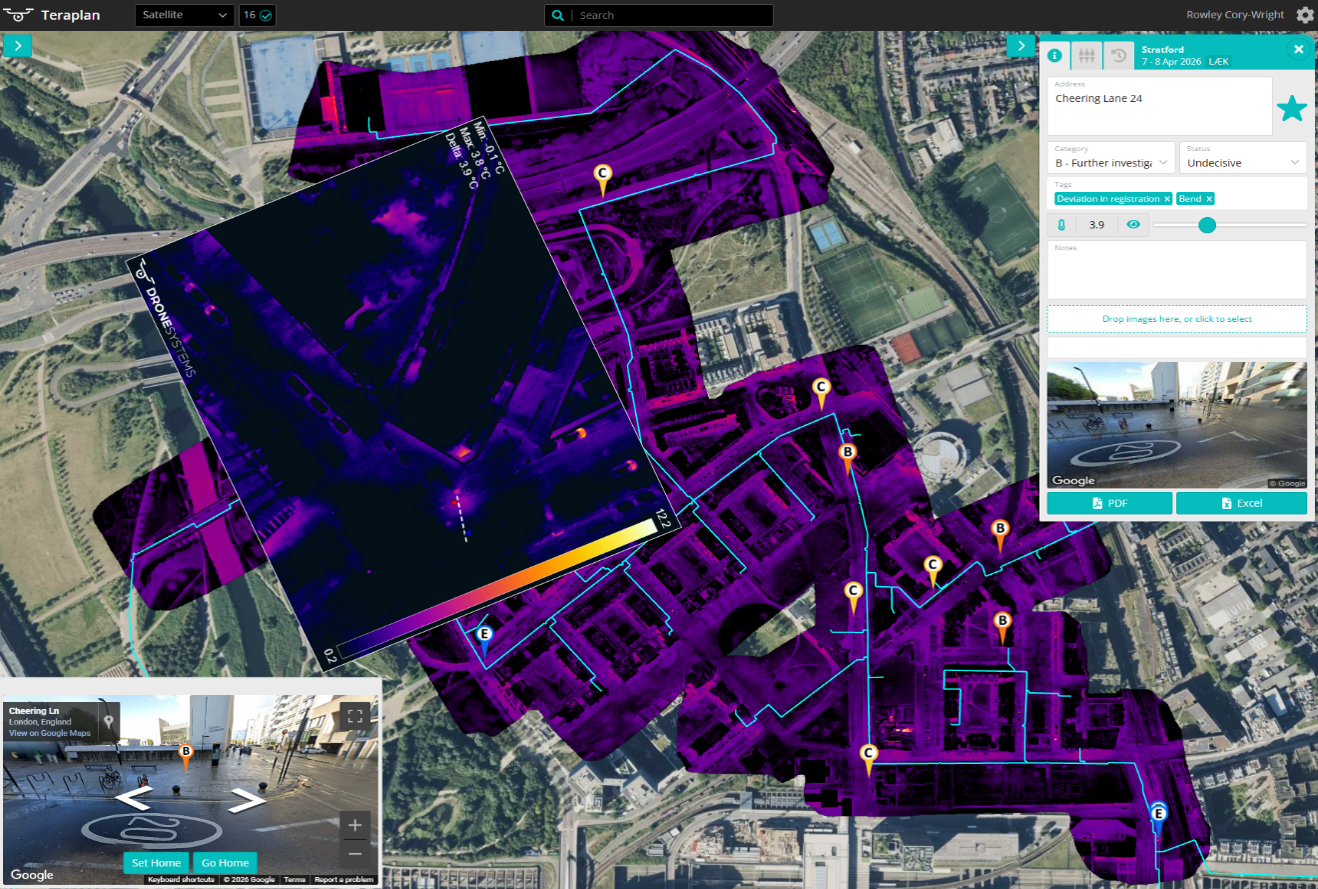
Thermal, RGB and LiDAR collected in one pass and co-registered into a single model, delivered through the MAYNE dashboard.

Change detection over time
Every model checked against the last capture, so movement, loss or growth gets tracked from first appearance, not spotted once and forgotten.

Audit-ready reporting
Structured, measurable model data formatted for compliance, maintenance planning and client deliverables.

Corridor-scale inspection
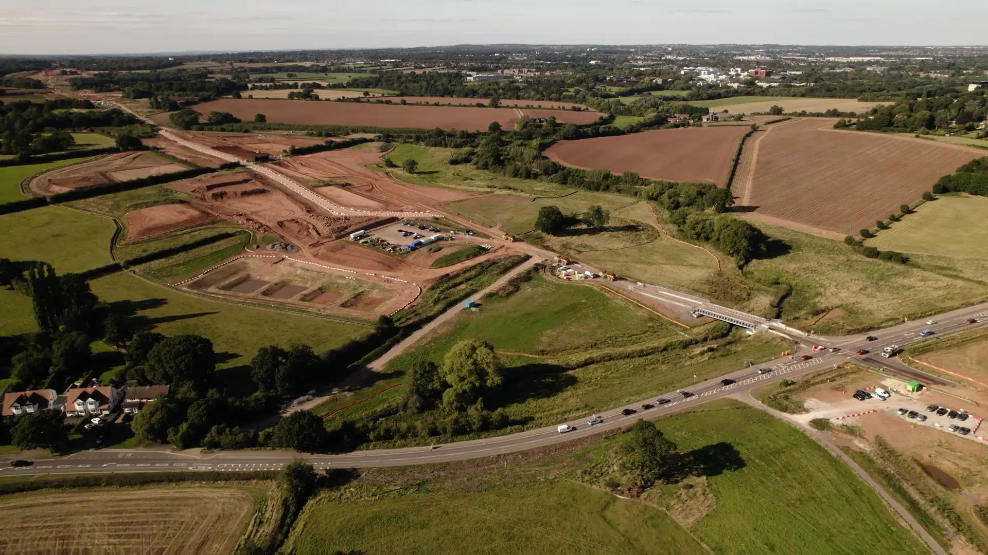
Visual inspection across rail, highways, and energy infrastructure in a single flight, covering the full corridor without multiple mobilisations.

Repeatable monitoring programmes
Fixed-cadence capture across linear asset networks, giving asset managers a consistent record for ongoing condition assessment.

Geotagged defect detection
Precise fault location along the full corridor, without anyone walking it.

Multi-sensor capture
Thermal, RGB, and LiDAR collected in one pass, with co-registered outputs delivered through the MAYNE dashboard.

Hard-access asset inspection
Safe survey of live pylon corridors, embankments, retaining walls, and operational linear infrastructure where ground-based access is restricted or hazardous.

Continuous condition record
A visual history of asset condition built over time, with each inspection cycle directly comparable to the last.

Audit-ready reporting
Structured condition data formatted for compliance, maintenance planning, and client deliverables.
< 04 / Linear infrastructure >
Continuous visual intelligence across your entire network.
< 05 / How it works >
From flight to findings.
Five steps, the same every time, on a fixed asset or a sixty-kilometre corridor. Two of them are where LEWES and MAYNE do the work a conventional inspection leaves to you.
Plan
Mission design against asset type, access and BVLOS requirement. A full site risk assessment and method statement produced before every inspection.
Capture
Hardened UAVs carrying whichever combination of RGB, thermal, LiDAR or multispectral the asset needs, flown on repeatable, pre-planned paths.
Move
Gets the mission data off the aircraft and into your environment securely, from anywhere, including sites with no usable connectivity.
Analyse
AI-led defect detection runs against the full dataset: cracking, corrosion, deformation and thermal anomalies, each finding geo-located against the model or the route.
Deliver
Condition scores, comparative models and prioritised maintenance recommendations, updated on every repeat inspection.
< TECHNOLOGY STACK >
Inspection sensors and technology.
StirlingX runs on infrastructure designed for reliability and speed. Our platform integrates seamlessly with what you already have, no rip-and-replace required.

High-resolution RGB inspection cameras
Thermal/IR sensors for hotspots and energy loss

LiDAR scanning for structural modelling

Encrypted mission communications

BVLOS-VM approvals for wide-area inspection
MAYNE: automated defect detection, trend analysis & asset scoring
< Case Studies >
What we've accomplished. Real services from real projects.

.png)

Before you commission an inspection.
Need more information? Reach out to discuss your specific situation.

How accurate is defect detection from a drone inspection?
Thermal, LiDAR or photogrammetry: which do I need?
How quickly do we get condition data back?
Can you inspect an asset that's live and in service?
Do you fly beyond visual line of sight?
What formats do you deliver in?
Who owns the inspection data?
Tell us the asset, and what you're worried it's doing.
Bring us a structure, a corridor or an estate. We'll specify the inspection, fly it, and show you the condition in MAYNE.