

Helicopters have been the standard tool for inspecting the UK's power lines, pipelines and railways for decades, and for good reason. A crew can survey hundreds of kilometres in a single day. Drones are catching up quickly, the regulations are starting to move with them, and we're increasingly asked whether drones are about to take over.
I think that question misses the bigger change. Cheaper aerial data could change how often infrastructure gets inspected, and for an asset owner that's the more important shift.

Where each aircraft fits today
A helicopter's biggest advantage is distance. It can follow a power line, pipeline or railway for hundreds of kilometres with a full sensor payload, and the crew never has to land and set up again.
Drones work differently. Most commercial drones fly slower and for shorter periods, and current operating rules often mean the crew has to move along the route in stages. Where infrastructure crosses private land, that adds up quickly. Getting access, speaking to landowners and finding safe places to launch and recover can take as much effort as the flying itself.
For long-distance surveys, the helicopter still has the edge. On shorter sections and targeted jobs, the picture changes. Drones are smaller and usually cheaper to run, and they can get close enough to an asset to capture very fine detail with high-resolution cameras, thermal sensors and LiDAR. Inspecting a single electricity tower, checking a suspected pipeline leak or surveying a short stretch of railway is often far cheaper by drone.
Safety and disturbance
Cost isn't the only factor. I flew helicopters at low level during my military career, and I was always conscious of the effect a large aircraft has on the people and animals below it.
Horse riders were the ones I worried about most. A helicopter appearing suddenly at low level can startle a horse and put both horse and rider in danger, and livestock react in much the same way. That's still a live issue when you're inspecting power lines and pipelines that run across farmland, bridleways and other land the public uses.
Small electric drones are quieter and far less intrusive. They're lighter and carry no crew, so the risk profile is different too. They usually have a smaller environmental footprint as well, although how much smaller depends on the aircraft, the job and what's happening on the ground to support it. For infrastructure owners weighing safety, environmental commitments and cost, those differences count.
Why drones aren't doing more of this work yet
The reason drones aren't already carrying out most linear infrastructure surveys comes down to scale. The technology has moved a long way, but regulation and day-to-day operating requirements still limit how efficiently it can be used. Even with a Beyond Visual Line of Sight (BVLOS) authorisation, an operation might need ground observers, a tightly defined operating area and a lot of planning. Over hundreds of kilometres, that means a lot of people and a lot ofl ogistics.
Routine BVLOS is the change that could alter the economics. If a drone can survey a long stretch of pipeline or power line without the pilot repeatedly relocating and without observers posted along the route, the cost of a long-distance survey drops considerably.
Most of the technology needed to do this already exists. The hard part is getting aircraft endurance, reliable communications, airspace integration, operating procedures and regulatory approval to work together in a way that's commercially viable at scale.
In the UK, the Civil Aviation Authority's Future of Flight BVLOS Roadmap (CAP 3182) sets the aim of routine BVLOS operations by 2027. That won't mean drones can fly anywhere without restriction from that point. It does mean that as the rules evolve and the technology matures, long-distance drone surveys should become steadily cheaper and simpler to run.
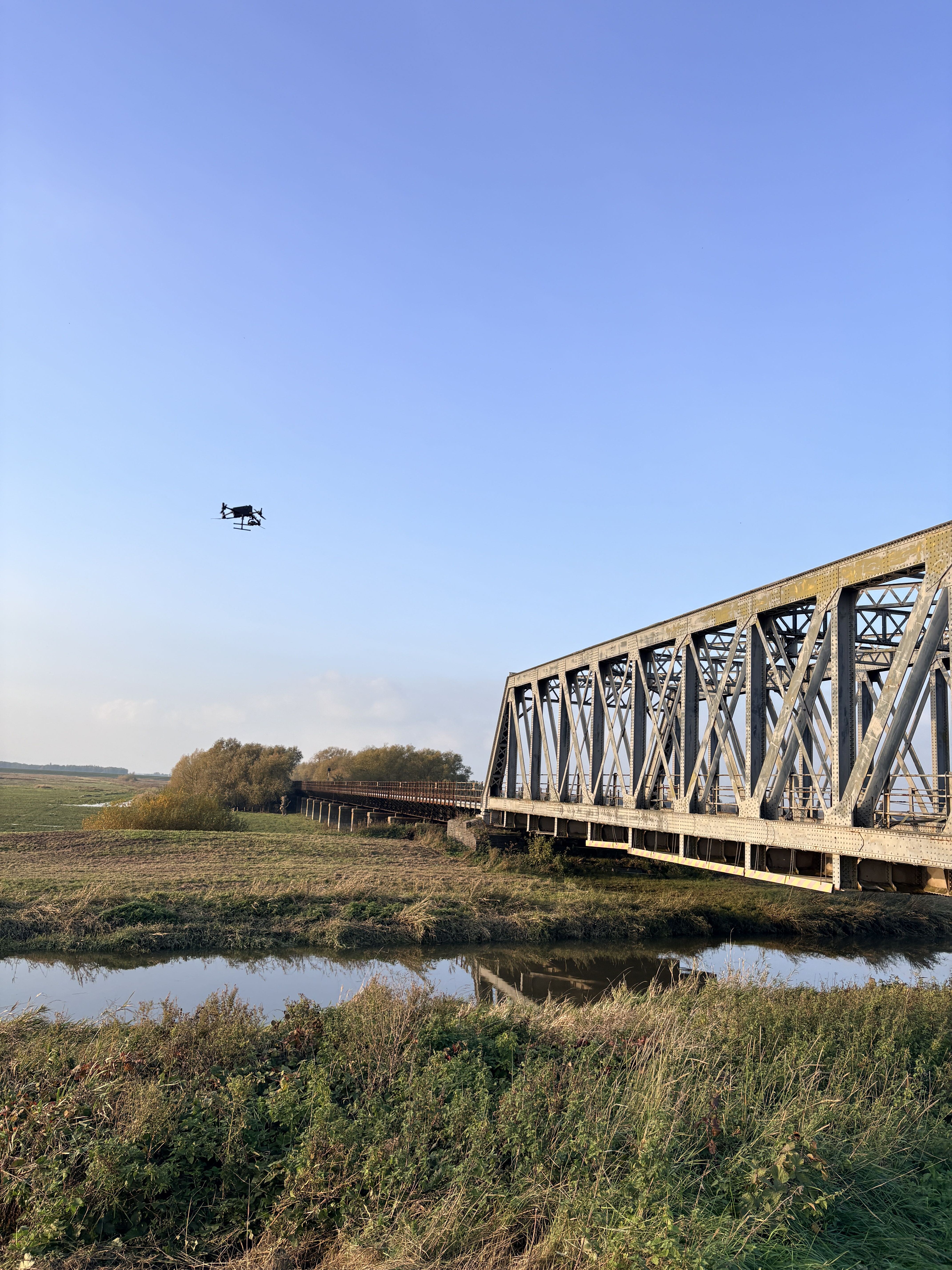
From periodic inspection to proactive maintenance
For infrastructure owners, the saving on each survey is welcome, but the bigger benefit is being able to inspect more often.
The cost of aerial surveys has always shaped how often they can be justified. Expensive, large-scale inspections push owners towards periodic assessments, with targeted investigations in between. When data becomes cheaper to collect, more frequent inspection starts to make financial sense. Owners get a clearer picture of asset condition, deterioration is spotted earlier, and maintenance can be prioritised before small problems turn into expensive failures.
We've seen this in our own work on district heating networks. Drone surveys identified areas of heat and water loss, which supported targeted repairs, and on one network those repairs resulted in a reported 90% reduction in water loss. The survey data was only the starting point. The value came from finding problems that could be fixed, cutting wasted water and energy, and delivering savings well above the cost of the inspection.
The same principle applies to electricity networks, pipelines and railways. Not everyasset needs inspecting more often, but where better information leads to bettermaintenance decisions, making that information cheaper can have a big effect onthe whole-life cost of owning and maintaining the infrastructure.
A changing balance
I don't expect helicopters to disappear from infrastructure inspection. Their speed, endurance, payload and freedom of movement will keep them useful for large network surveys for a long time yet.
In the near term, the most effective approach is likely to combine the two, with helicopters covering the wider network and drones handling detailed inspections, targeted investigations and more frequent monitoring. As routine BVLOS becomes commercially viable, that balance will shift, and drones will take on longer surveys at a much lower cost.
For asset owners, the useful question is how often they need information on each part of their network and what that information is worth to them. The choice of aircraft follows from the answer.
To read more about our Asset Inspection solutions, visit: https://www.stirlingx.io/capabilities/asset-inspection-3d-modelling
To read more about our Survey & Mapping solutions, visit: https://www.stirlingx.io/capabilities/survey-mapping
