< NEW CAPABILITY >
Linear Surveys For Linear Infrastructure.

< SECTOR CHALLENGES >
Linear infrastructure is hard to see. Most operators have stopped trying.
Periodic inspections. Fragmented site reports. Months between visits. The standard model for managing linear infrastructure is built on gaps: gaps in coverage, gaps in data, and gaps in confidence. StirlingX closes them.

Construction monitoring
Construction teams managing linear programmes have limited visibility across the full corridor. Reporting is fragmented. Progress disputes are costly. And nobody has the time to walk every metre.

Asset inspection
Inspection is expensive, infrequent, and often too late. Field access across long corridors is slow and in some environments creates real safety risk. The gaps between inspection cycles are where failures happen.
< what we deliver >
StirlingX uses corridor-scale video fly-through to give infrastructure teams continuous visual intelligence across their entire network.
Take the full end-to-end service, or just the parts that fit: data collection only, software only, or any combination layered on top of what you already have.

< CONSTRUCTION PROGRESS TRACKING >
A complete corridor-scale capture of construction progress, from start to handover.
Progress tracking and performance monitoring. Regular drone surveys of the full site footprint, flown on a fixed cadence to give project managers a consistent aerial record of construction progress.
As-built vs. design comparison. Automated overlay of captured site conditions against design models and drawings, identifying deviations in position, elevation and dimension before they become costly rework.

Volumetric stockpile assessment. Accurate drone-based volume calculations for earthworks, aggregate stockpiles, cut-and-fill operations and spoil management.

Digital twin creation. Photorealistic 3D models and point cloud datasets built from each drone survey, forming a running visual record of the site as it develops.

Weekly and monthly update packages. Structured progress packs delivered after each survey, covering orthomosaic imagery, 3D model outputs, volumetric changes, deviation flags and annotated photographs.

Stakeholder dashboards and reporting. Cloud-hosted dashboards giving clients, contractors and project owners on-demand access to the latest site data, historical comparisons and progress metrics.

Time-lapse and video documentation. Aerial time-lapse sequences compiled from repeat survey imagery, showing construction progress across the full programme duration.
< ASSET INSPECTION >
Continuous visual intelligence across your entire network.

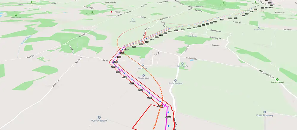
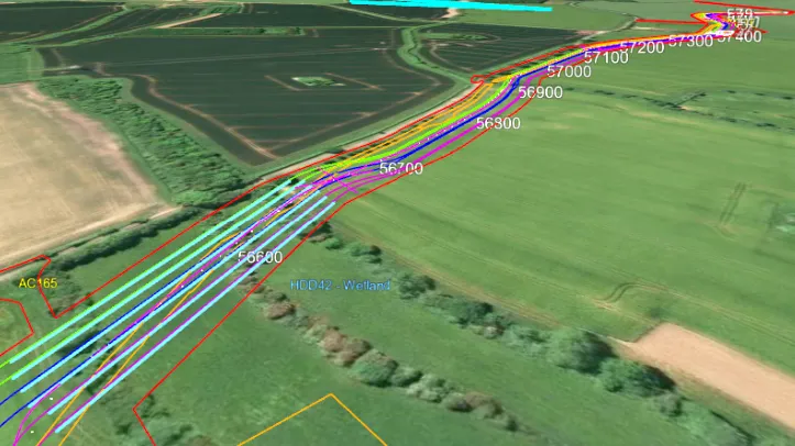
Corridor-scale inspection. Visual inspection across rail, highways, and energy infrastructure in a single flight, covering the full corridor without multiple mobilisations.

Repeatable monitoring programmes. Fixed-cadence capture across linear asset networks, giving asset managers a consistent record for ongoing condition assessment.

Geotagged defect detection. Precise fault location along the full corridor, replacing periodic walkover inspections with a faster, safer alternative

Multi-sensor capture. Thermal, RGB, and LiDAR collected in one pass, with co-registered outputs delivered through the MAYNE dashboard.
Hard-access asset inspection. Safe survey of live pylon corridors, embankments, retaining walls, and operational linear infrastructure where ground-based access is restricted or hazardous.
Continuous condition record. A visual history of asset condition built over time, with each inspection cycle directly comparable to the last.

Audit-ready reporting. Structured condition data formatted for compliance, maintenance planning, and client deliverables.
< STIRLINGX ADVANTAGES >
StirlingX Linear Surveys is built on three proprietary layers.
The regulatory freedom to fly where otherscannot. The data infrastructure to turn raw data into structured intelligence. And the analytics platform to surface decisions from that intelligence over time. Each one matters. Together they are what makes corridor-scale linear surveys possible.
< Regulatory advantage >
We fly beyond what others can.
StirlingX holds BVLOS-VM approval from the CAA, enabling autonomous drone operations beyond visual line of sight across linear infrastructure corridors. We can survey entire pylon corridors, full highway routes, and pipeline networks in a single operation. Longer range. Fewer mobilisations. Lower cost per kilometre. And no compromise on safety or compliance.
- Unique UK regulatory freedom. Impossible for most competitors to replicate.
- Longer range per mission. Fewer mobilisations. Lower cost per kilometre.
- Safe, CAA approved operations across live and operational infrastructure.
< Intelligence infrastructure >
Raw data becomes structured intelligence.
This is not about flying drones and processing images. The StirlingX Data Fabric normalises data from every platform and sensor into a unified structure, manages secure storage and access, and provides the shared infrastructure that all analytics applications build upon. It is the operating system for your asset intelligence operations. Every survey adds to it. The value compounds over time.
- Normalises data from disparate sources into a single unified structure.
- Manages secure storage, governance, and access across the enterprise.
- Provides the shared infrastructure that MAYNE and all analytics applications run on.
< Analytics platform >
Every survey. Every defect. Every trend. In one place.
MAYNE is the StirlingX analytics and reporting platform. It is where raw flythrough data becomes structured operational intelligence: automated defect detection, condition scoring, time-series comparison, and maintenance recommendations, all surfaced through a single dashboard your team can access from anywhere.
- Every survey builds on the last. The first capture establishes a baseline. Every subsequent flight adds to it.
- Trends surface automatically. Emerging risks are flagged before they become failures.
- Move from reactive maintenance to predictive management, with the data to back every decision.
< CLIENT BENEFITS >
The right intelligence for every stakeholder.
StirlingX Linear Surveys delivers distinct value to every team involved in linear infrastructure management. From the field to the boardroom, each role gets the data it needs to make faster, safer decisions.
<01>
For operational teams
- Unified visibility across the full corridor from a single flight
- Real-time access to condition data and defect alerts through MAYNE
- Fewer field mobilisations. Lower cost per inspection cycle.
- Automated mission planning and data delivery. Minimal manual effort.
- Mobile access for field coordination and remote review
<02>
For asset managers and project teams
- Portfolio-wide visibility across all corridor assets and active construction programmes
- Evidence-based progress and condition data that resolves disputes before they escalate
- Condition-based maintenance planning informed by actual survey data, not assumptions
- Audit-ready records for compliance, contract assurance, and client governance
- Budget forecasting with predictive condition data from MAYNE trend analysis
<03>
For executive leadership
- Strategic asset intelligence improves capital allocation decisions
- Operational efficiency improvements with measurable ROI
- Risk reduction across infrastructure portfolio
- Competitive advantage through data and predictive analytics
- Scalable platform grows with organisational needs
Find answers about how StirlingX works and what to expect.
Need more information? Reach out to discuss your specific situation.
What is BVLOS-VM and why does it matter?
What types of infrastructure do you survey?
How quickly do we receive the data?
Do you manage access and permissions?
What does a pilot involve?
Can MAYNE integrate with our existing systems?
Who owns the data?
How does pricing work?

Build Better With Better Data.
Learn how continuous project intelligence improves outcomes and protects your investment.