
The Problem
Monitoringprogress across a 60 km site is complex and time-consuming. Ground-levelsurveys face access challenges and can’t provide the full picture. JMS neededan efficient, non-intrusive solution to track fast-moving work fronts andidentify potential issues early.
The Solution
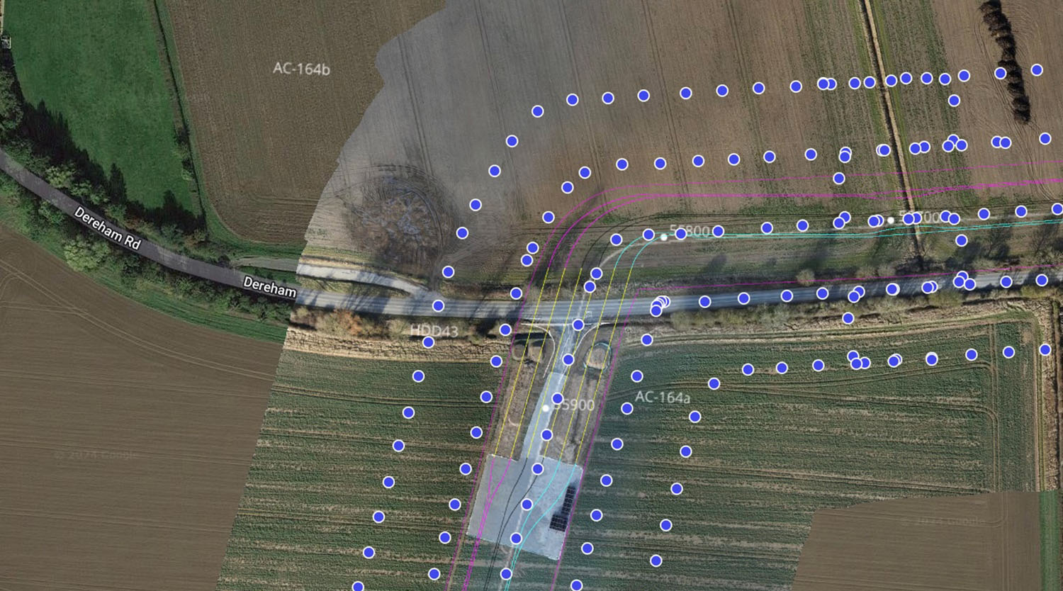
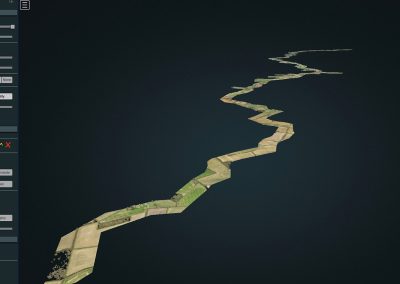
Buildingon our early works LiDAR and fly-through surveys, StirlingX delivers monthlyaerial mapping using DJI M300 RTK drones with P1 full-frame cameras for 1.5 cmGSD imagery. Our CAA-approved Extended Visual Line of Sight (EVLOS) permissionsand optimised flight planning allow efficient coverage with minimal disruption.
Imageryis processed in DroneDeploy tocreate interactive 2D maps, layered with project drawings, and 3D models forvolumetric analysis and progress tracking. Teams can annotate points ofinterest, share updates, and plan efficiently—improving collaboration andlandowner engagement.
Outcomes
- 20 km section mapped in under a day(with expansion planned to full 60 km)
- High-resolution geolocated imagery and 3D models for real-time project insight
- Faster progress monitoring, reduced site access challenges, and improved decision-making
Result: Accurate, collaborative, and up-to-date visual intelligence that keeps large-scale construction projects moving smoothly.
