The Problem
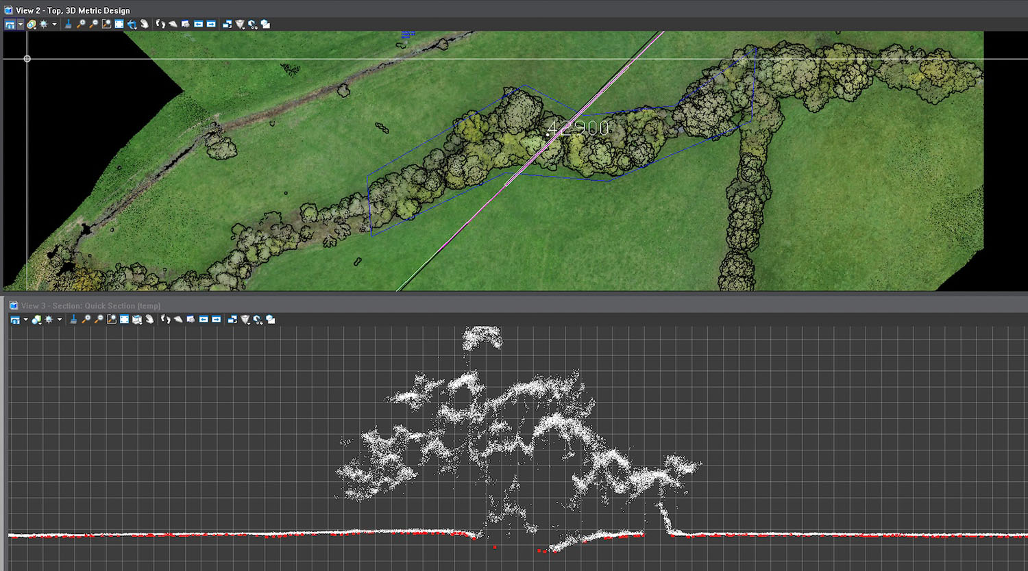
Previous photogrammetry surveys offered surface-level detail but couldn’t penetrate vegetation or crop cover, producing only a Digital Surface Model (DSM). J Murphy & Sons needed a precise Digital Terrain Model (DTM) to inform access, drainage, and pre-construction planning across the entire 60 km corridor.
The Solution
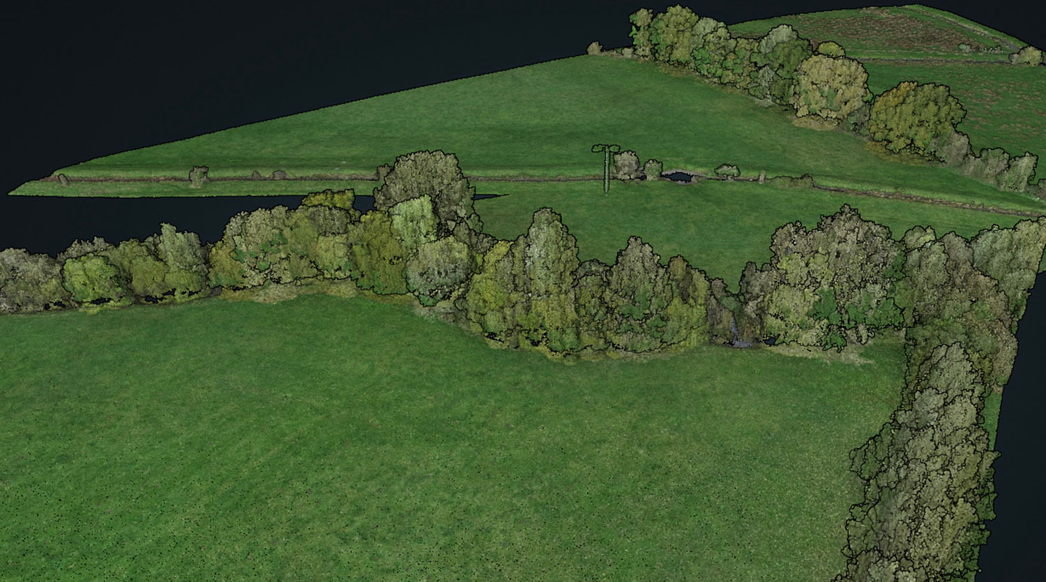
StirlingX deployed DJI M300 RTK drones with L1 LiDAR sensors to capture high-density data, supported by surveyed Ground Control Points for ±100 mm vertical accuracy. Our CAA-approved Extended Visual Line of Sight (EVLOS) permissions enabled efficient long-distance flights, while strategic Take-Off and Landing Sites ensured safe operations with minimal disruption. Data was processed into tiled deliverables for easy handling and staged release, providing 2D orthomosaics andLiDAR point clouds with 50 PPM density. We worked closely with JMS and landowners to maintain full compliance and communication throughout.
Outcomes
- 60 km corridor surveyed in under 6 days
- High-accuracy LiDAR DTM and orthomosaic mapping delivered
- Enabled informed planning foraccess, drainage, and mobilisation works
Result: Fast, accurate terrainintelligence supporting one of the UK’s largest offshore wind infrastructureprojects.