
The Problem
Capturing the full intertidal zone requires surveys during spring tides, within a tight 2-hour window around low tide. Traditional ground surveys struggle to cover 3km in this timeframe, leading to inconsistent data. Drones solve this, but range limitations mean enhanced permissions and careful planning are essential.
The Solution
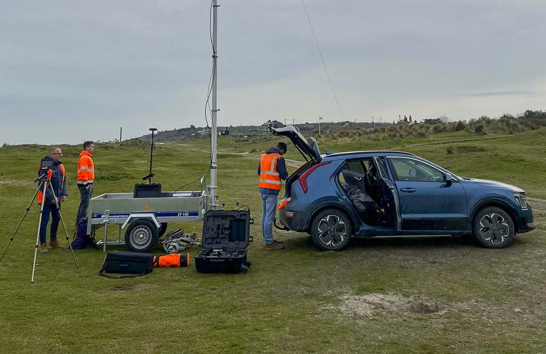
StirlingX combines advanced CAA permissions, innovative planning, and the latest drone tech to deliver accurate, secure data capture under strict time constraints. Dual-pilot workflows and rapid mobilisation allow us to exploit short capture windows, even at dawn or dusk. We partner with PDC Engineering for independent Ground Control Points (GCPs) and use temporary, eco-friendly markers to protect the environment. Our Operational Authorisations enable Beyond Visual Line of Sight (BVLOS) with visual mitigation, flying DJI M300 drones up to 9 km from the Remote Pilot—boosting efficiency for large and linear sites.

Outcomes
Using the DJI M300 with a P1sensor, we deliver 1.5 cm GSD imagery to Cefas reliably within tidal windows. Initialcrews of three have already reduced to two without compromising safety orquality—thanks to our extended flight permissions and optimised processes.
